I went to Kiso Otaki area for checking a termination of Karatani-rindo.
This forest road is not described on a map of Geographical Survey Institute.
I was always interested where it reached.
This forest road has a total of approximately 6.9km.
BTW, the location "N35 50.190 E137 23.174" is available of a mobile phone(AU).
[The route of Karatani-rindo]

[The entrance of Karatani-rindo]

[The termination of this forest road]

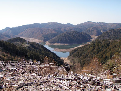
[A view of Miura-dam]
[A view of Mt. Ontake]

[I forgot chopsticks... So I used a cane of a banboo glass.]


